
|
Geometrics MagArrow
Drone Magnetometer |
|
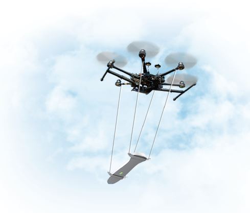
Survey large areas
of inaccessible terrain 10x faster than a typical land magnetic
survey - Particularly suitable for areas too small for
conventional airborne surveys
UAV-deployable, lightweight, and
self-contained Cesium magnetometer - The MagArrow "bird" is made
of carbon fibre and weighs 1kg, is 1 meter in length, includes a
GPS on board with 1 meter accuracy, and a WiFi access point for
connection to the web browser application interface
* Does not
include drone |
 |
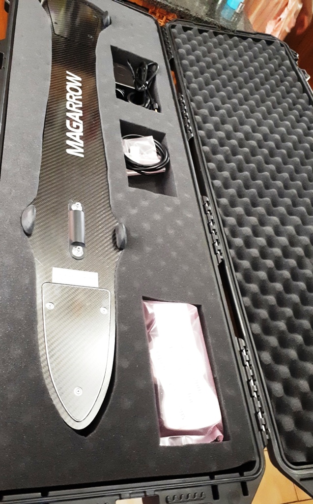
The MagArrow system includes the
MagArrow magnetometer, data collection software package, and user
manual. Warranty is one year.
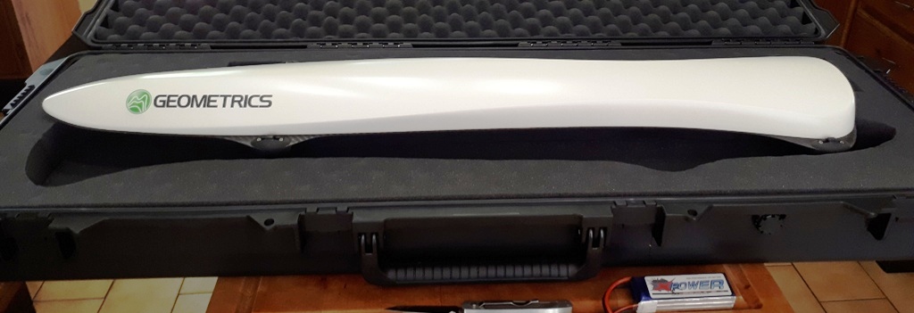
Above - MagArrow on top of shipping
case (showing top of the bird)
| Below - MagArrow packed in
shipping case (showing bottom of the bird)
 |
Operation:
Operation in the field is simple.
Survey details are programmed into the user’s UAV software of
choice. The MagArrow is turned on, and once airborne,
preprogrammed GPS waypoints carry the MagArrow in altitude
stable survey lines. Once work is completed, data from the
MagArrow can be wirelessly downloaded to a computer.
Features & Benefits
•
Lightweight
– Weighs only 1
kg, allowing a flight time 20% longer than a 2.5 kg-payload UAV
• UAV Agnostic – Attachment system is easily
configurable, use your existing enterprise UAV
• Self-Contained – GPS, storage, and WiFi on board, no
data connections to UAV needed
• Super-Fast Sampling Rate – Fly faster, up to 10 m/s
with samples every 1 cm - Filter out UAV motor noise
• QC in the Field – View and QC data in the field using
any device with a web browser app interface
• Long Battery Life – 2 hours of battery life will
outlast multiple UAV flights - Hot swappable
Download Brochure |
|
For more info or pricing, follow the Geometrics pointer at the
bottom of this page or contact
Red Dog
Scientific Services , authorized representative for South /
Southern Africa
|